UN Backs New World Map Showing Africa’s True Size as 164 Countries Vote in Favour

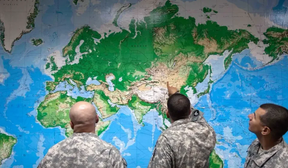
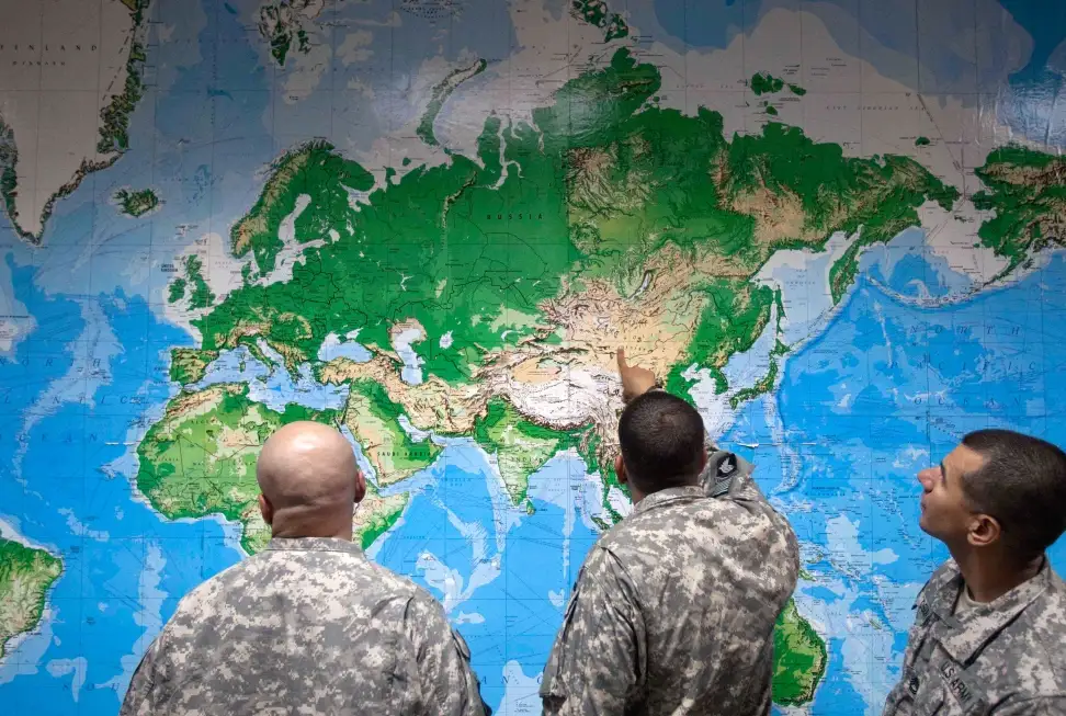
The way millions of people see the world on maps could be changing after the United Nations General Assembly backed a new world map projection designed to represent Africa and other regions more accurately. New world map showing Africa true size
On Friday, September 4, 2026, the UN General Assembly adopted the “Correct the Map” resolution, which promotes the use of the Equal Earth projection as an alternative to the widely used Mercator projection.
Table of Contents
The resolution received 164 votes in favour, while the United States was the only country to vote against it. Six countries — Serbia, Estonia, Georgia, Lithuania, Moldova and Ukraine — abstained.
The move has attracted significant attention because traditional world maps can make countries and continents in the Northern Hemisphere appear much larger than their actual land areas.
Why Does Africa Look Smaller on Traditional World Maps?
The issue is largely connected to the Mercator projection, a map system developed by Flemish cartographer Gerardus Mercator in the 16th century.
Mercator’s projection was designed primarily for navigation because it preserves angles and makes plotting straight-line courses useful for sailors.
However, it comes with a major trade-off: land areas become increasingly distorted as they move away from the Equator.
As a result, Greenland can appear visually comparable to Africa on a conventional Mercator world map, even though Africa is about 14 times larger than Greenland.
This does not mean that Africa itself was deliberately drawn incorrectly. Rather, the projection enlarges areas closer to the North and South Poles, creating a misleading comparison when looking at the relative sizes of continents and countries.
What Is the Equal Earth Map?
The Equal Earth projection is an equal-area map projection developed in 2018 by cartographers Bojan Šavrič, Tom Patterson and Bernhard Jenny.
Unlike the Mercator projection, Equal Earth is designed to preserve the relative areas of landmasses, allowing viewers to make a more meaningful comparison of the sizes of continents and countries.
Learn more about the Equal Earth projection
The projection does not make every geographical feature perfectly accurate. No flat map can represent a spherical Earth without some form of distortion.
Instead, Equal Earth makes a different choice: it prioritizes accurate land-area comparisons.
Africa Is Much Bigger Than Many People Realize
Africa covers approximately 30.3 million square kilometres, making it the world’s second-largest continent by land area after Asia.
It is large enough to contain the United States, China, India and much of Europe within its geographical footprint.
This is one reason the debate over world maps has gained so much attention.
When people grow up seeing distorted maps in classrooms, textbooks and digital platforms, their mental picture of the relative size of countries can be very different from reality.
An interactive tool such as The True Size Of allows users to move countries around the map and compare their actual areas.
Compare countries using The True Size Of map
You may also like:
- India to Roll Out Indigenous 280 kmph Bullet Train by 2027 After ₹866.87 Crore Project
- 97-Year-Old Woman Rescued from Nepal Flood Debris: ‘She Looked Like a Warrior’
- The Secret Codewords That Scammers Hate – And Why Your Family Needs One Now
164 Countries Supported the Resolution
The UN vote was overwhelmingly in favour of the new approach.
According to reports, 164 countries voted for the resolution, while the United States voted against it and six countries abstained.
The initiative was sponsored by Togo and supported by African Union members. The campaign has been described as an effort to correct longstanding problems with the way Africa and other parts of the Global South are visually represented on maps.
The UN’s own General Assembly schedule lists the “Correct the Map” resolution under its 80th session.
Does This Mean the Mercator Map Is Now Banned?
No.
This is an important point.
The UN resolution is non-binding. It does not legally force every country, school, technology company or mapping service to immediately stop using the Mercator projection.
Instead, it encourages governments and institutions to consider alternatives such as Equal Earth when producing maps intended to communicate the relative size of regions and continents.
Mercator also remains useful for certain applications, particularly navigation, where preserving angles and bearings has important practical advantages.
Why the New Map Matters for Africa
The debate goes beyond geography.
Maps are powerful educational tools. They influence how people understand countries, continents and the relationships between different parts of the world.
Supporters of the “Correct the Map” campaign argue that showing Africa closer to its true relative size can help challenge misconceptions about the continent.
For African students in particular, the change could provide a more accurate visual understanding of their continent’s enormous geographical scale.
Togo has been one of the leading countries behind the campaign, with the initiative receiving support from the African Union.
Equal Earth vs. Mercator: What’s the Difference?
| Feature | Mercator Projection | Equal Earth Projection |
|---|---|---|
| Main strength | Navigation and direction | Accurate relative area |
| Land-area accuracy | Distorted, especially toward the poles | Preserves relative area |
| Africa’s appearance | Can appear smaller relative to northern regions | More accurately reflects its size |
| Greenland vs Africa | Can appear surprisingly similar | Shows Africa as dramatically larger |
| Created | 16th century | 2018 |
| Best use | Navigation | World maps and area comparison |
The Equal Earth projection was specifically created as an equal-area alternative that maintains the relative size of landmasses while providing a visually balanced world map.
A New Way to See the World
The UN-backed move does not mean that everyone will wake up tomorrow to a completely different map.
However, it represents an important shift in the conversation about geography, education and how the world is visually represented.
For decades, generations of students have relied heavily on maps based on projections that distort the relative size of land areas.
The Equal Earth projection offers another option — one that allows Africa, South America, South Asia and other regions closer to the Equator to be seen in a more proportionate way.
For Africa, the message is particularly striking: the continent is far larger than many conventional maps make it appear.
Final Thoughts
The United Nations’ decision to support a more accurate world map is not simply about changing the picture hanging on a classroom wall.
It is also about improving geographical literacy and helping people understand the actual scale of the planet.
The Mercator projection remains useful for specific purposes, but the growing adoption of equal-area alternatives such as Equal Earth could give students, educators and the general public a clearer understanding of the world’s geography.
Africa was never small. In many cases, the map was simply making it look that way.
External Sources & Further Reading
- United Nations General Assembly schedule – Correct the Map resolution
- Equal Earth official projection information
- Reuters – UN approves resolution supporting map showing Africa’s true size
- Associated Press – UN endorses new world map showing Africa’s size more accurately
- The True Size Of – Interactive country size comparison
READ: 97-Year-Old Woman Rescued from Nepal Flood Debris: ‘She Looked Like a Warrior’
You May Also Like:


[…] UN Backs New World Map Showing Africa’s True Size as 164 Countries Vote in Favour […]